Downloadable Pond Maps
Fort Stewart/Hunter Army Airfield has 20 actively managed recreational fishing ponds:17 ponds located at FS and 3 ponds at HAAF.
The following PDF files are maps of each individual pond, showing pond depths/contours.
The data was collected in spring 2018 and fall 2019. Actual pond depths may vary, as some ponds were at full-pool during data collection, while others were very low.
Low water level and large amounts of submerged vegetation prevented data collection from Pond 31.
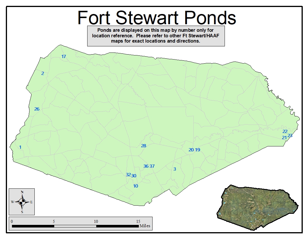
All maps are georeferenced. You are able to download the map and use in a georeferencing app on your phone.
|
Pond 31 - Cedar Bay Middle Pond |
||
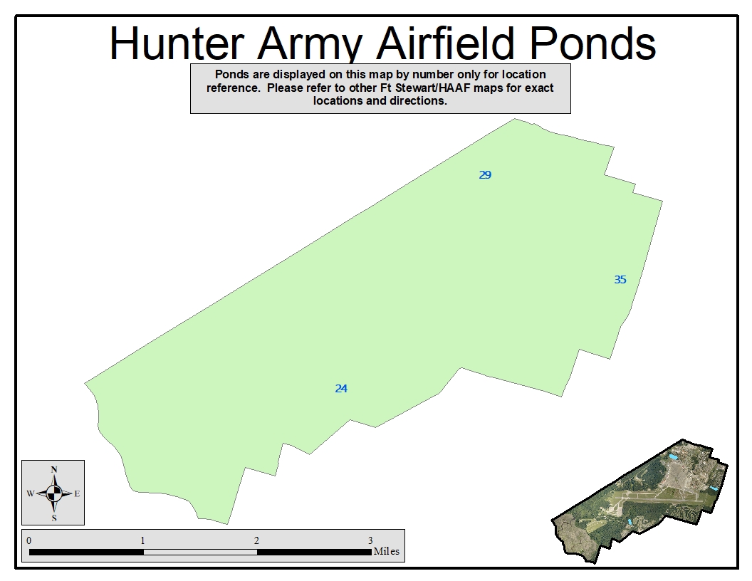
| Pond 24 - Halstrom Pond | Pond 29 - Oglethorpe Pond | Pond 35 - Wilson Gate Pond |